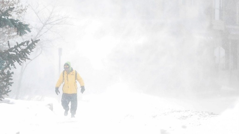
Ontario is bracing for intense snow squalls this weekend, with areas downwind of the Great Lakes facing snowfall of up to 80 cm.
Meteorologist Anthony Farnell predicts challenging travel conditions, thunder snow, and shifting squalls due to warm lake temperatures and cold air dynamics.
Content Highlights
- Weather Impact: Snow squalls to hit areas near Lake Huron and Georgian Bay, with snowfall reaching 80 cm in persistent regions.
- Conditions: High snowfall rates (up to 8 cm per hour) and thunder snow expected.
- Affected Areas: GTA largely spared but may see flurries, while northern and western communities face heavier snow.
- Temperature Outlook: Below-average cold expected through Dec. 10, with more snow likely in hardest-hit areas.
- Broader Context: Part of a La Niña winter forecast, bringing colder temperatures and higher precipitation across parts of Canada.

Ontario residents are bracing for some of the most dramatic snowfall of the season.
A major shift in temperatures over the Great Lakes is set to bring incredible snow totals, with snow squalls expected to deliver up to 80 cm in some regions over the coming days.
A Snowstorm Like No Other
Global News meteorologist Anthony Farnell is predicting a rapid temperature drop between the Great Lakes and surrounding air, setting the stage for intense lake-effect snow.
“This weekend, areas downwind of all five Great Lakes are likely to experience extreme snow totals, and travel could be extremely challenging,” Farnell warned.
The Coming Storm
Snow squalls are set to start early on Friday, intensifying quickly across Lake Huron and Georgian Bay, and lasting through early next week.
Initially, the snow may be heavier and wetter due to mild water temperatures, but as winds shift, squalls will move, bringing the heaviest snow to different regions at different times.
In the most intense squalls, snow could fall at rates of up to 8 cm per hour, accompanied by thunder and lightning.
Snow Totals That Will Stun
By Monday, Ontario’s most affected regions could see up to 80 cm of snow.
The Greater Toronto Area will largely avoid the heaviest snow, but northern and western parts of the city might see over 10 cm.
Meanwhile, Toronto itself will likely see flurries, though accumulation is expected to be minimal.
What’s Next for Ontario?
The colder-than-usual weather will persist through December 10, ensuring more snow for the areas hardest hit this weekend.
Farnell also reminded Ontarians that the upcoming winter will likely be influenced by La Nina conditions, which are expected to bring cooler temperatures and higher-than-average precipitation across Canada.
As we approach the official start of winter on December 21, all eyes will be on Ontario to see how much snow the coming days will bring. Residents are urged to stay prepared for significant winter conditions.
Summary
Ontario is set to receive up to 80 cm of snow over the coming weekend due to a shift in temperatures over the Great Lakes.
Snow squalls, intense enough to bring up to 8 cm per hour of snow with thunder and lightning, will impact areas around Lake Huron and Georgian Bay.
The Greater Toronto Area will be spared the heaviest snow but will still see flurries.